Roxborough State Park
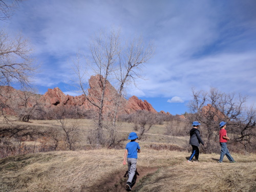
There were many slanted red rocks at Roxborough State Park. Formed by erosion and uplift, the Fountain Formation, as they are called, are 300 million year old rocks tilted at an angle 60 degrees. They are older than the Rocky Mountains.
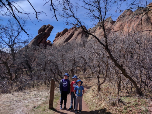
We took the South Rim Loop trail, which was about 4 miles and about 500 feet of elevation gain. This hike took us to the perimeter of the red rocks (not through it) and up into one of the hills for a panoramic view of the slanted giants. Our hike was about 4 miles, owing to a detour to complete our loop, caused by a trail closure.
We noticed many mountain lion scat along the trail, as well as big claw prints in the snow (bigger than an adult human male hand) which made me a tad nervous. Luckily, that mountain lion remained elusive.
We had hoped to hike the Fountain Valley Loop Trail (about 2.5 miles) after South Rim Loop Trail, but the children unit of the family vehemently opposed. Apparently this trail would have taken us amongst the slanted rocks.

 Red tilted rocks of Roxborough State Park, near Littleton, Colorado
| Features: | Views of tilted rocks from above. |
|---|---|
| Fee: | $7 (bring exact change) |
| Address: | 4751 Roxborough Dr, Littleton, CO |
| Our Hike: | South Rim Loop (includes detour due to a closed trail): 4 mile rt, about 500 ft elevation gain |
| Website: | Roxborough State Park |
More Colorado Travel Ideas More U.S.A. Travel Ideas More Worldwide Travel Ideas
