Big Pine Lakes
Big Pine Lakes has been on my to do list since I first saw a picture of its blue lake many years ago. I must say that in person, those lakes were not as blue as the pictures I saw, but it was still a beautiful area.
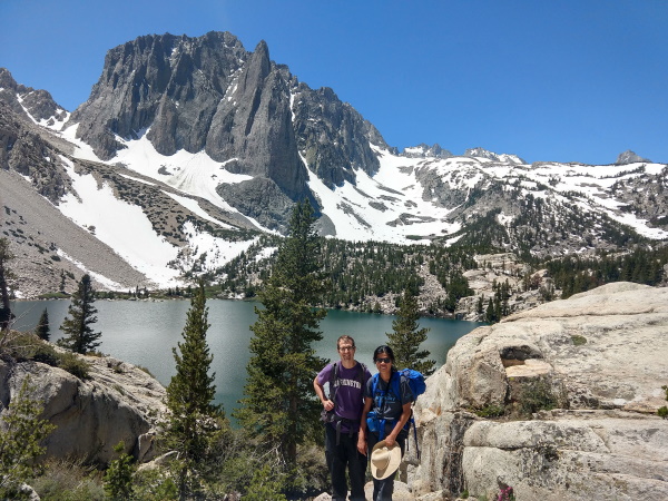
 At the base of the temple crags, First Lake, Big Pine Lakes, CA
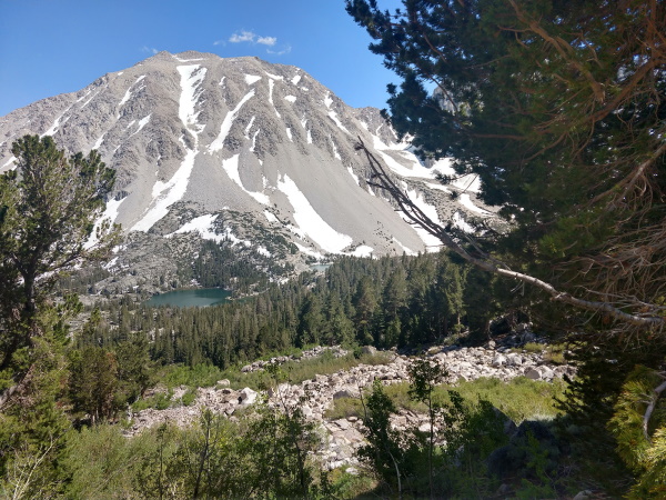
We hiked to the first 4 lakes via North Fork, then looped back via Black Lake. The area around Black Lake was snow covered but our hiking poles came in handy. On the hike back we got a view of First and Second Lakes from above. We could also see that the two lakes were on different levels, connected by a waterfall flowing on granite rock.
 View from the top of 1st and 2nd Lakes on way back from Black Lake, Big Pine Lakes, CA
| Features: | Hike along a raging stream lined by trees, up switchbacks to a series of alpine lakes. |
|---|---|
| Our Hike: | 15 miles rt, 3300ft elev gain (to 4th lake, loop back via Black Lake, view from above of Lakes 1 and 2 on way back) |
| Directions: | Take Hwy 395 to the city of Big Pine, CA, located just south of Bishop, CA. From Big Pine, head West on W Crocker Ave. W Crocker Ave will become Glacier Lodge Rd. Stay on Glacier Lodge Rd until you reach the trailhead at the end. |
| Fee: | Free for dayhikes |
| Permits: | Required for overnight stays, Not required for day hikes, as of July 2019. Overnight permits reservable up to 6 months in advance on recreation.gov. Permits go fast. |
| Website: | For updated information, check Big Pine Lakes |
| Parking: | Limited, we arrived at 8:30am to an almost full parking lot. |
| Accomodations: | We camped at BLM campground just north of Bishop along Pleasant Valley Road. Pit toilets, No water. $5/night. Lots of campsites available on July 4 weekend that we stayed. Many county campgrounds around. Reservable and walk-in campsites also available near trailhead but they go fast. |
More California Travel Ideas More U.S.A. Travel Ideas More Worldwide Travel Ideas
